

3-4 Miles, 1.5-2hrs
Although the Peak Forest Canal had been opened for some years at the end of the 18th century, the construction of the locks was not complete until 1805 and a tramway linked the two sections.
[The black and white photos on this page are 100 to 120 years old]


This walk down Marple Locks has an option to shorten the full route by around a mile. The full route (blue on the map) includes a section from the aqueduct to Compstall via the fields of Water Meetings Farms and alongside the River Etherow that can be very muddy. The shortcut shown in red through Brabyns Park will avoid these muddiest areas.
The walk is based on the original leaflet produced by the late Gordon Mills in 1998 and was first published on this site with his permission in the same year. The text here was amended to include the addendum changes published in partnership with Marple Local History Society in 2010 and the web version has been updated again in 2024 as part of our longer term programme to ensure that these historic guides remain available for people to enjoy.
Map key
Blue = Full route, Red = shortcut through Brabyns Park avoiding muddiest sections.
Green Pin = Start and finish in Marple Memorial Park.
A GPX file of the full route is available for download.
The text from the guide is reproduced in default grey and the photos originally used by Gordon in his guide have been supplemented with others from the "Virtual History Tour" and more recent colour photos. Additional text in the on-line version only is coloured green.
Directions
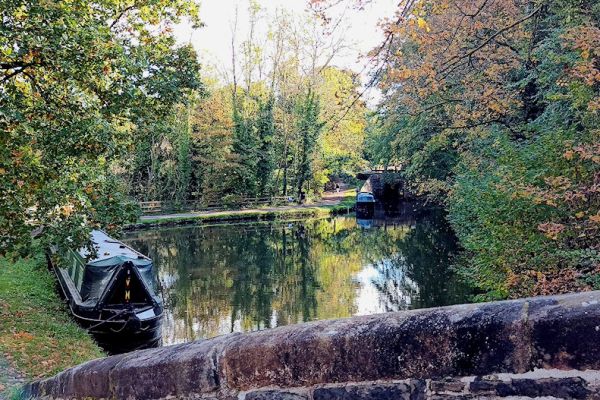
1) Our walk starts in the Memorial Park in the centre of Marple. There are two paths leading to the canal, so which ever one you take turn left on reaching the towpath. There are sixteen locks in the Marple flight which lowers the canal 208 feet to an aqueduct over the river Goyt.

2) Just above lock 9 is one of Oldknow's warehouses whose continued state of good repair is due to its conversion to offices.

As we cross Station Road we cross the canal as well to take the tow path on the right of the canal. To our right is Brabyns Park which we will be exploring later.
In the 1960s the aqueduct was damaged by severe frost preventing navigation and the whole canal became under threat of closure. The campaigning and practical work by the Peak Forest Canal Society led eventually to the complete restoration of the locks and aqueduct.
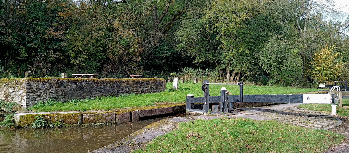
Between locks 4 and 5, where the railway passes beneath the canal, there is a picnic area with tables and seats.
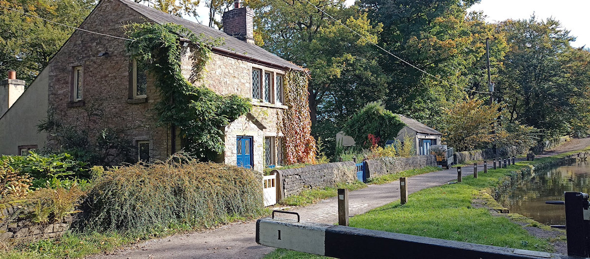
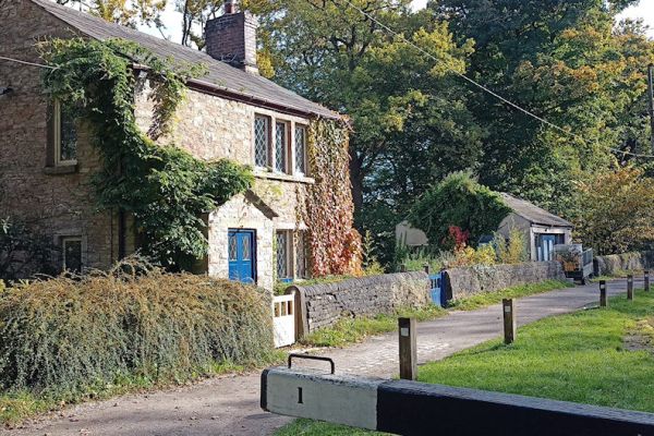
There are also now picnic benches at Lock 6, on the site of the former Lock Keeper's Cottage.
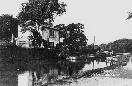
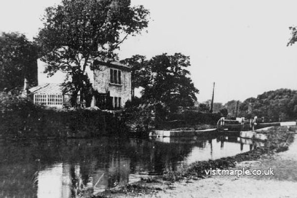
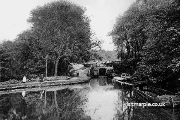
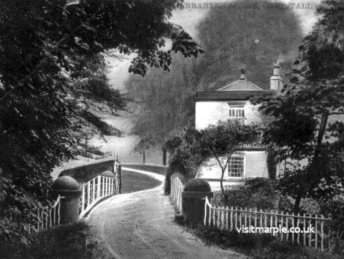
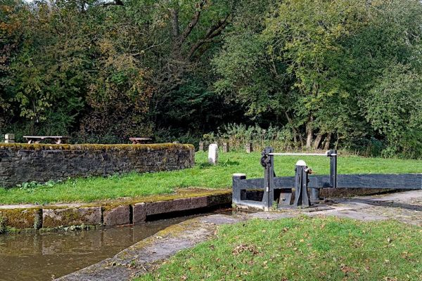 Lock Keeper's Cottage at Lock 6, demolished in the 1960s, and how the area looks today.
As you pass the locks look back at the small bridges that cross the canal just below the bottom gate. A carved stone face can be seen in the centre of the arch. Unfortunately these have become rather worn with the passage of time, but each lock had a different carving of a face. Doubtless some stonemason's personalisation of his craft.
3) Just before the bottom lock and the former lock keeper's cottage there is a footpath to the right. This is decision time. You can take this footpath [see Short Route below] or continue on the longer route past the aqueduct.
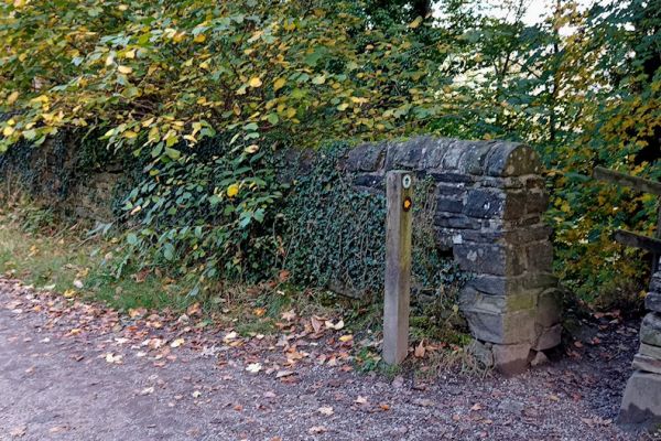
 The Goyt Way footpath into Brabyns Park just before Bottom Lock and the Lock Keeper's Cottage.
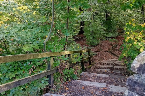
Short Route:
Follow the signs marked Goyt Way down the hill and turning left to meet up with river. The path follows the river along a pretty tree lined path and past Water Meetings where the Etherow joins the Goyt. A little further on the path joins the main route at the Iron Bridge.
Longer Route:
Be warned - there are some rather muddy spots after heavy rain.
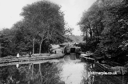
 Bottom Lock then and now, and the Lock Keeper's Cottage today.
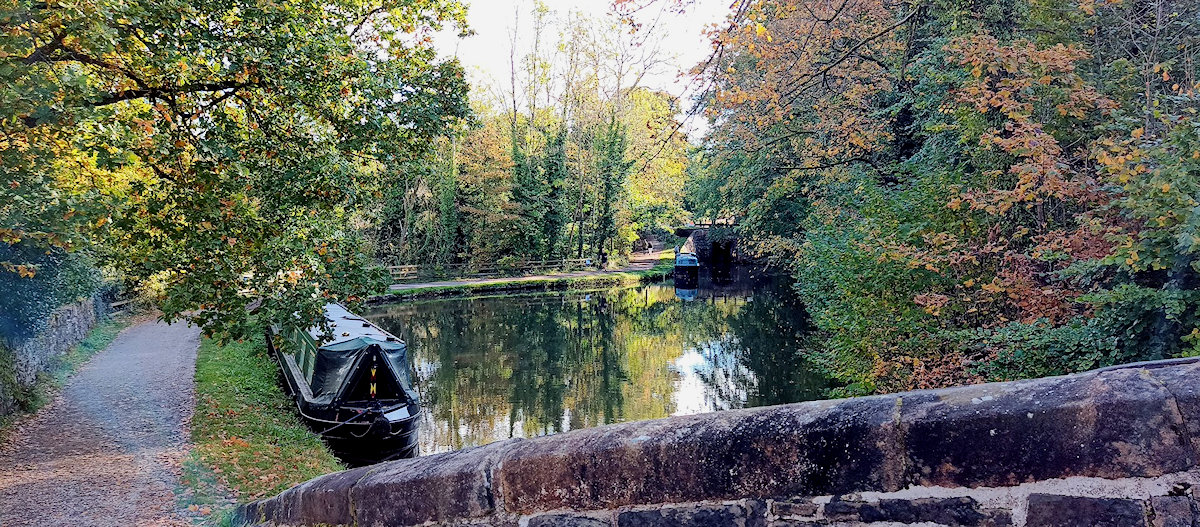
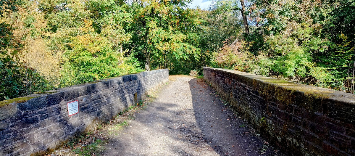
Below the bottom lock the towpath changes side and continues on under the railway viaduct. A short distance further on the canal narrows as it crosses the river Goyt on the Marple Aqueduct. This structure is over 300ft long and stands some 100ft above the river.
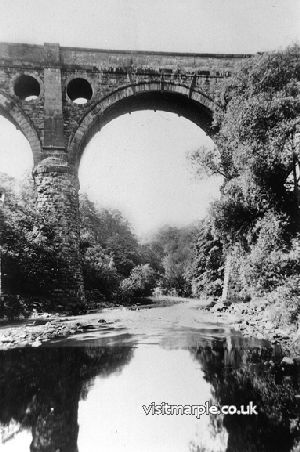
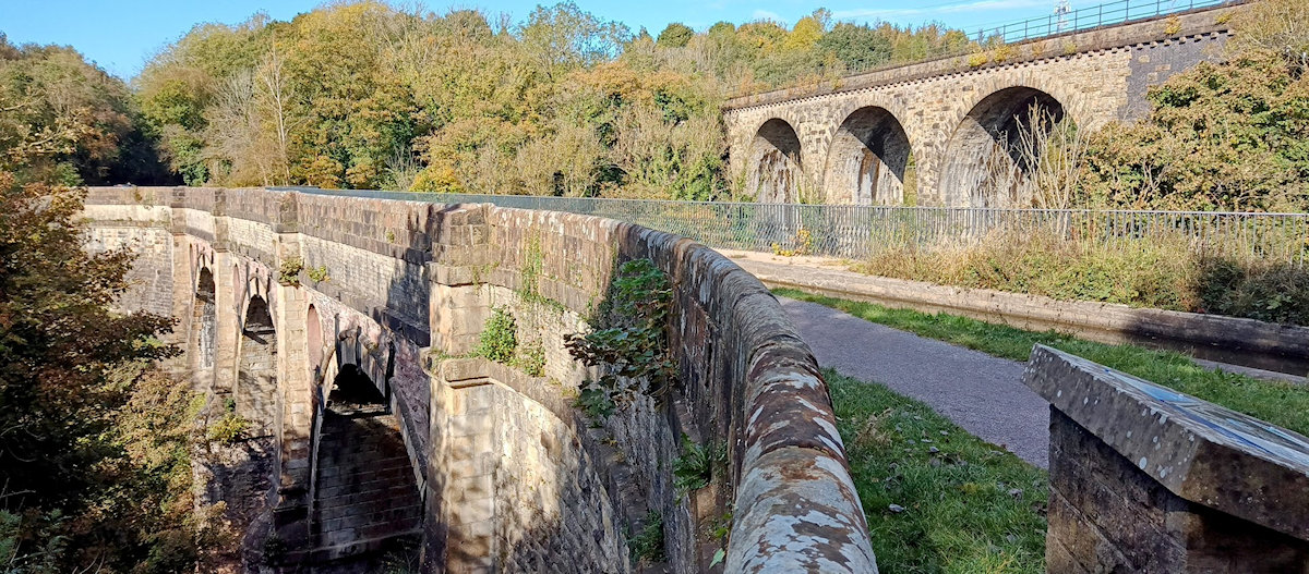
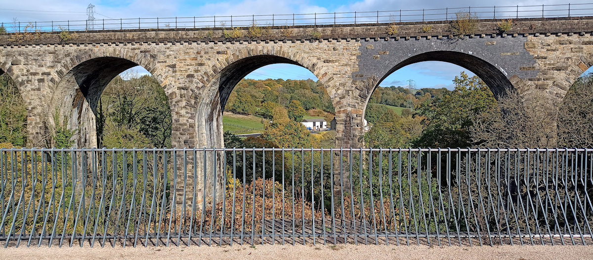

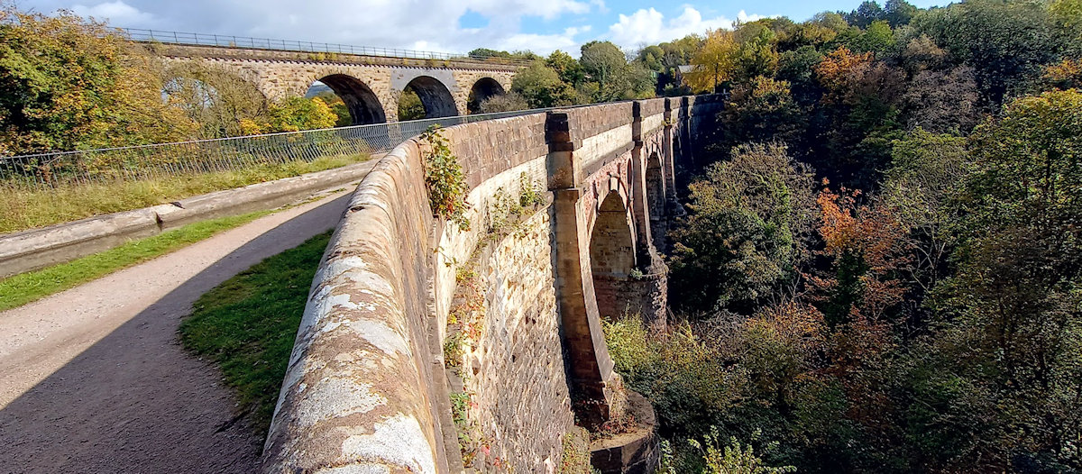
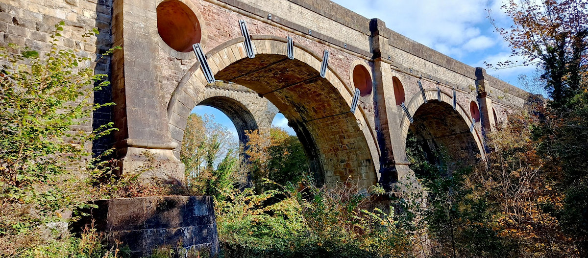
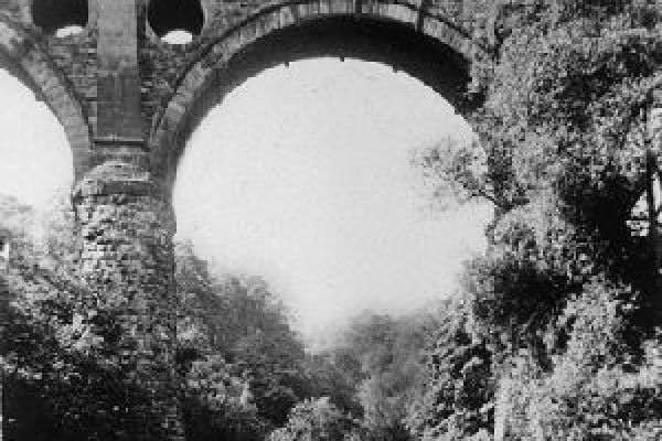
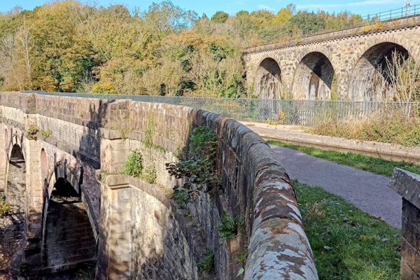
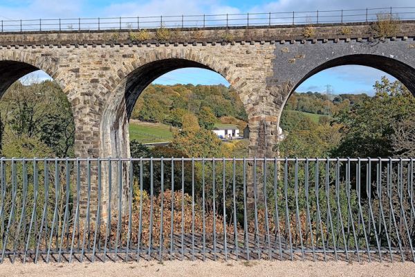
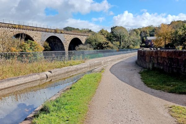
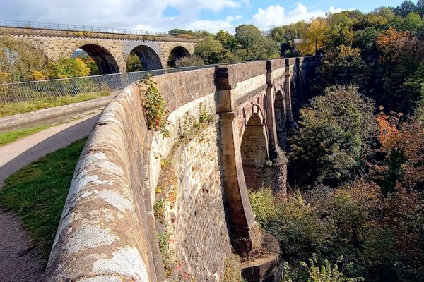
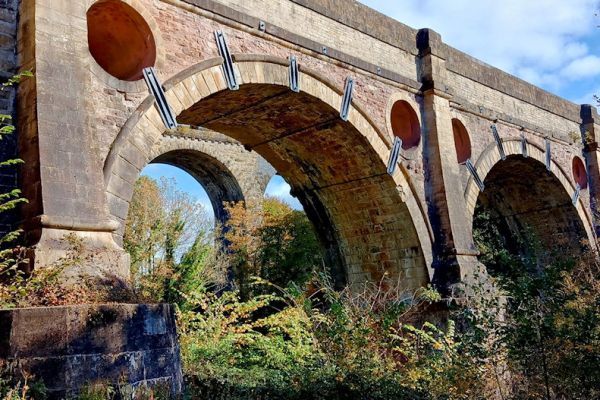 Marple's Grand Aqueduct - a scheduled ancient monument - with the Viaduct alongside.
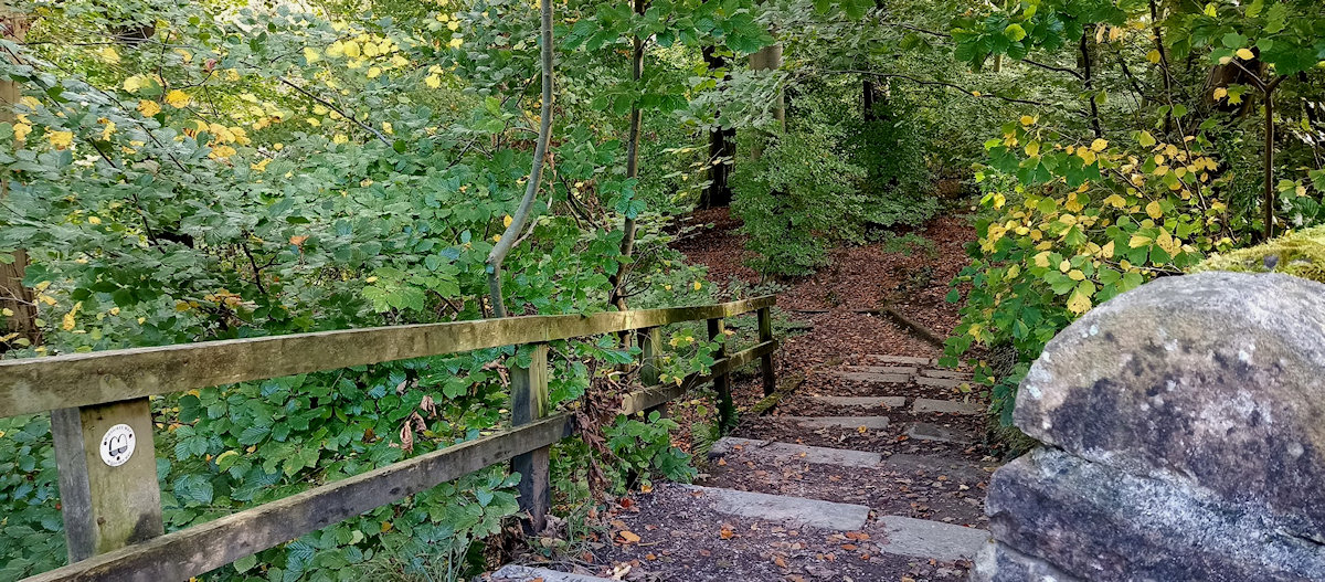
4) After crossing the aqueduct take a path on the left through a wooden gate that descends towards the river. The path leads steeply down but is "stepped" for ease of use. Passing under the aqueduct and the viaduct cross a stile and then bear left up the hillside towards another stile. Altogether there are three stiles [now only two] to cross before a tarmac road is reached.
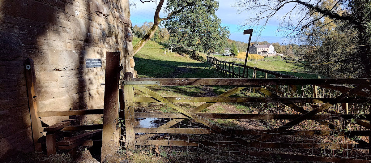
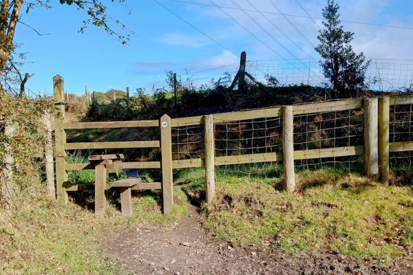 The stiles and the view of Upper Water Meetings Farm before reaching the tarmac road.
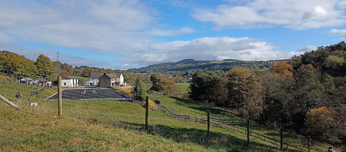
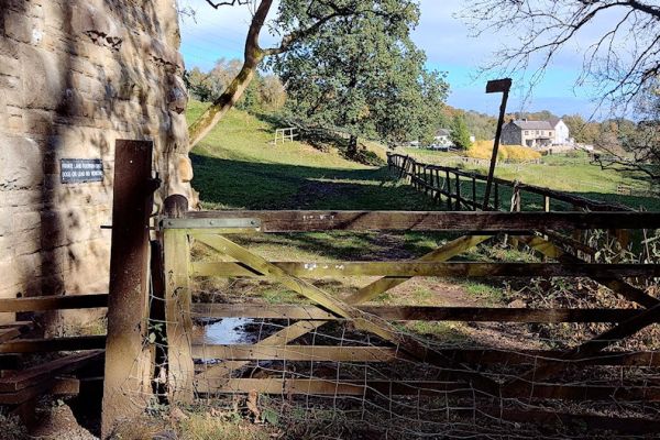
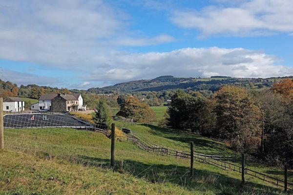
Turn right and follow the road down past Upper Water Meetings Farm and then a short distance further on follow the red signs [not sure they are red now] through the farmyard of Lower Water Meetings Farm.
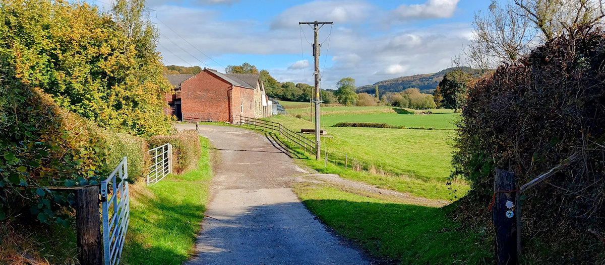
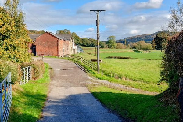
 The route through Lower Water Meetings Farm is pretty straightforward.
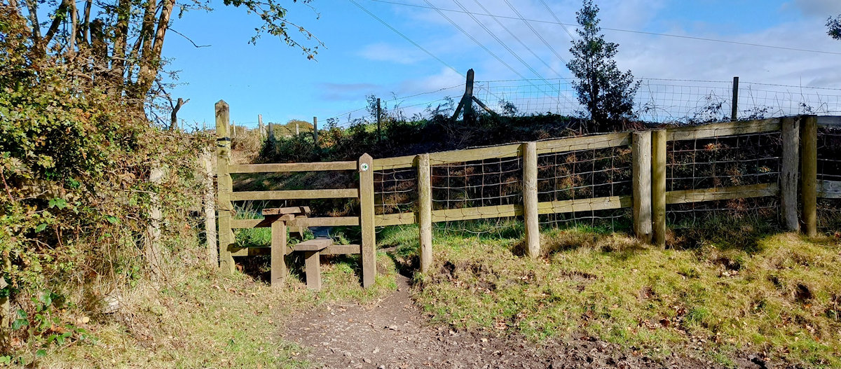
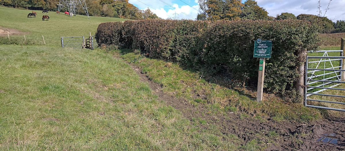
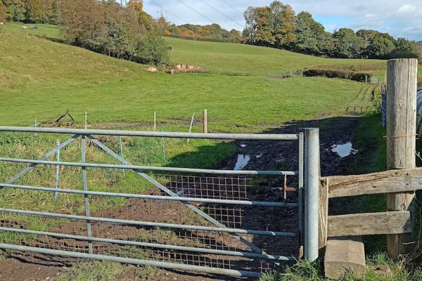
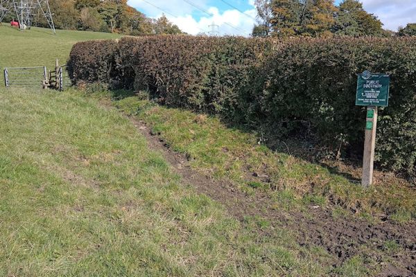
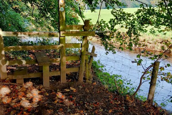
5) About 150 yards beyond the farm, just before a gateway, leave the track and take a path to the left towards a stile. Follow the Valley Way signs until the river is reached.
Cross the stile and follow the path as it runs alongside the river to the main road at Compstall.
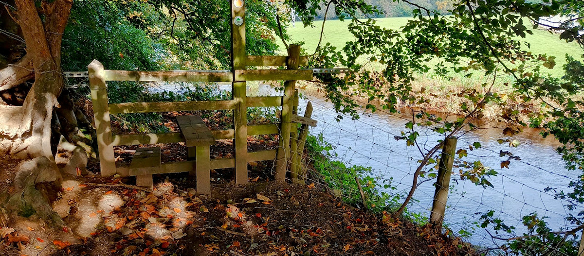
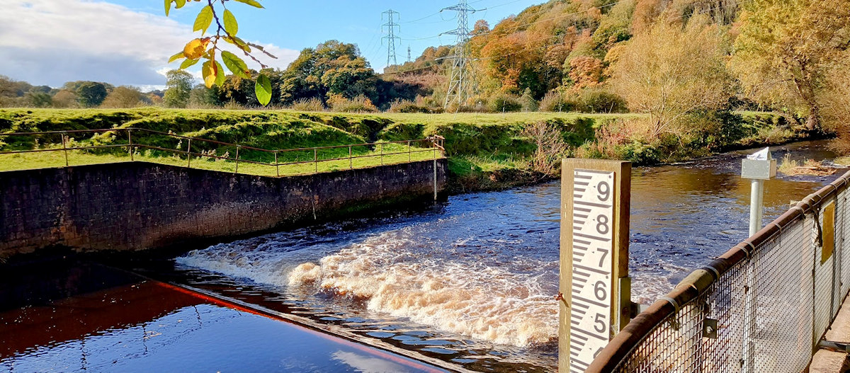
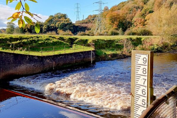
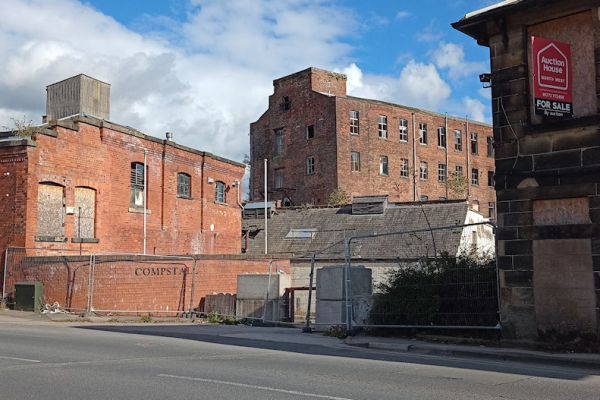 Stile to the riverside path, weir on the river Etherow, and Compstall Road as it looks today (October 2024).
6) When you reach the main road you will find there is no footpath over the bridge on this side of the road. So you will need to cross the road first, but do so with great care. Traffic speeds are high and the view to the right is poor. Turn right and cross the bridge and past what used to be "The George".
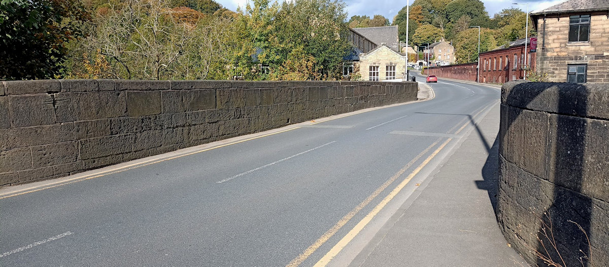
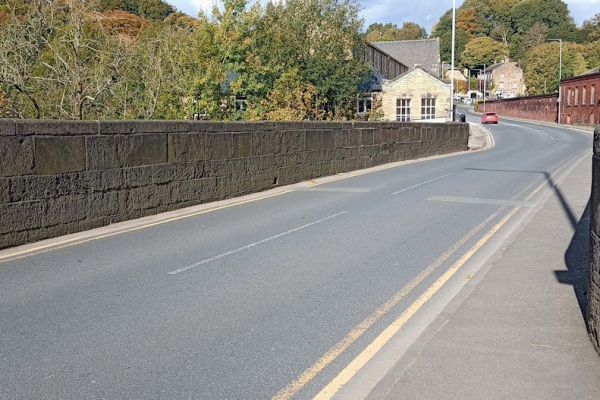
 Looking back at the narrow road across the bridge, what was The George, and the entrance to Rollins Lane.
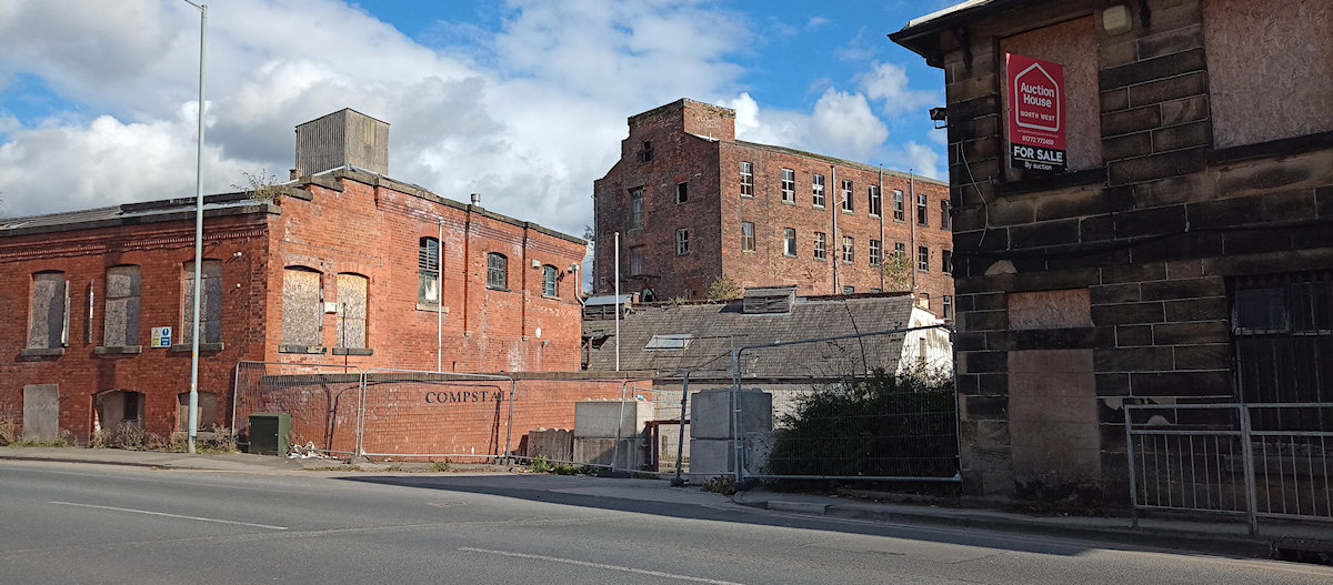
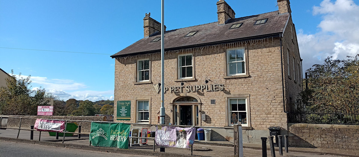
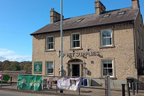
Although The George is no longer a pub, if you've timed your walk right this is a good opportunity for a refreshment break. The Northumberland Arms Community Pub, winner of CAMRA's Greater Manchester Pub of the Year in 2024, and The Spring Gardens, both great pubs, are just a short detour a few 100 yards further up Compstall Road past Rollins Lane.
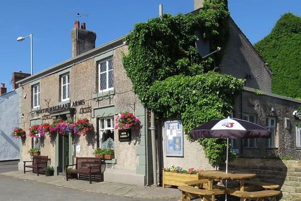
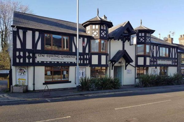 The Northumberland Arms and The Spring Gardens are just a short detour up Compstall Road.
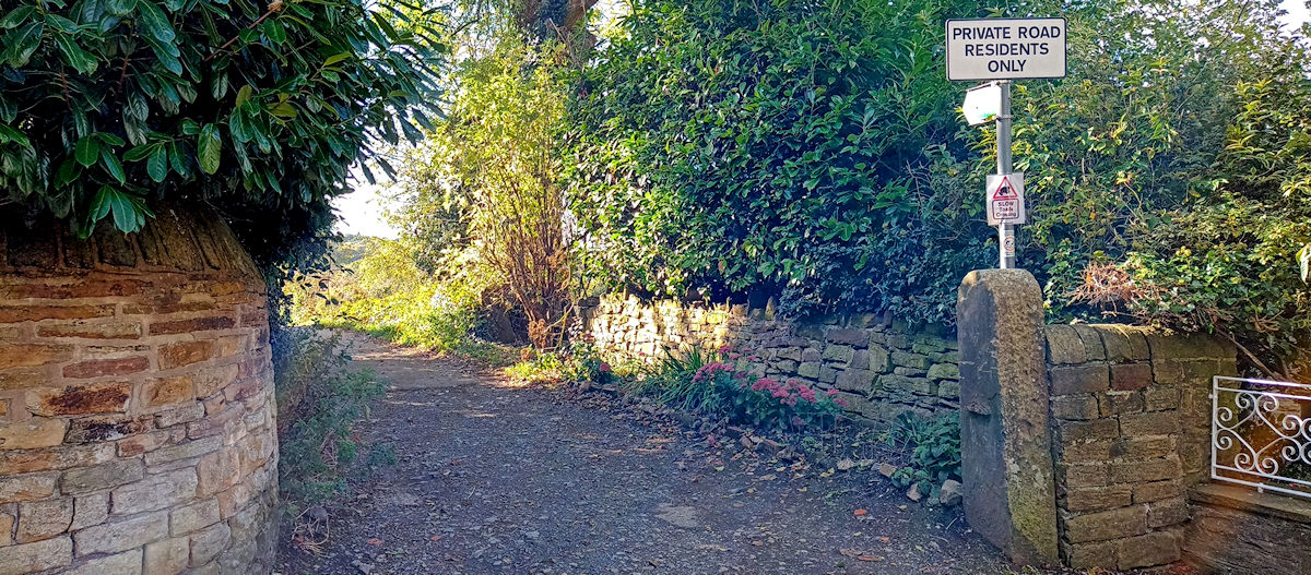
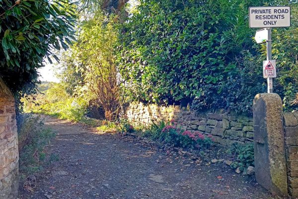
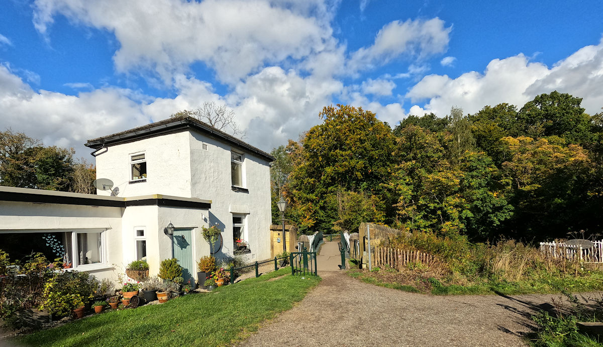
Continue for about 200 yards before taking a track on the right signposted Brabyns Park. Don't be concerned about the "Private Road" sign here, Rollins Lane is a public right of way. Follow the track and cross "Iron Bridge" which has undergone extensive renovation instigated by this web site and was reopened in 2008. After crossing the bridge take a path to the left alongside the river.
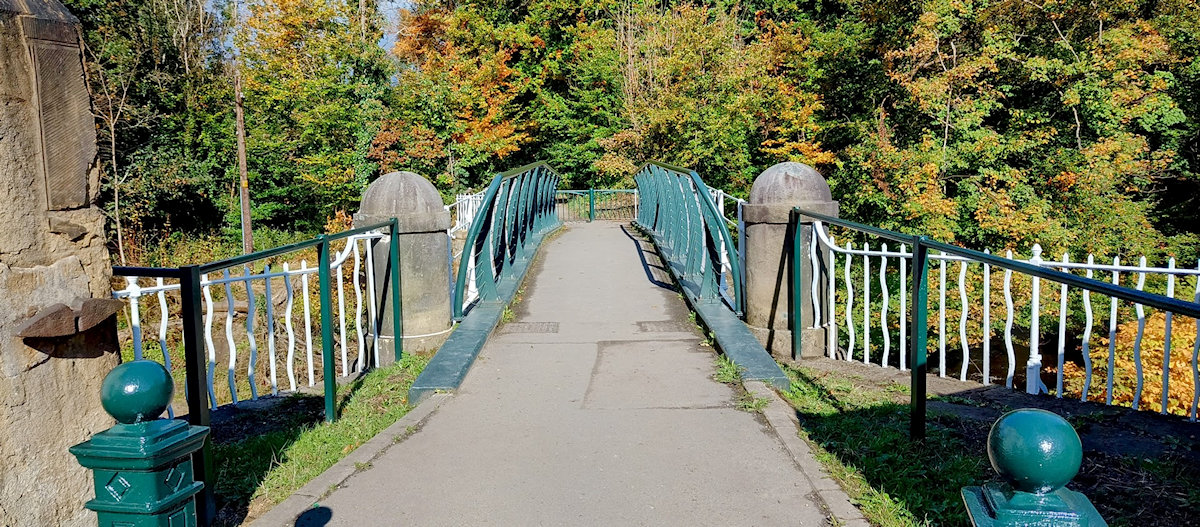
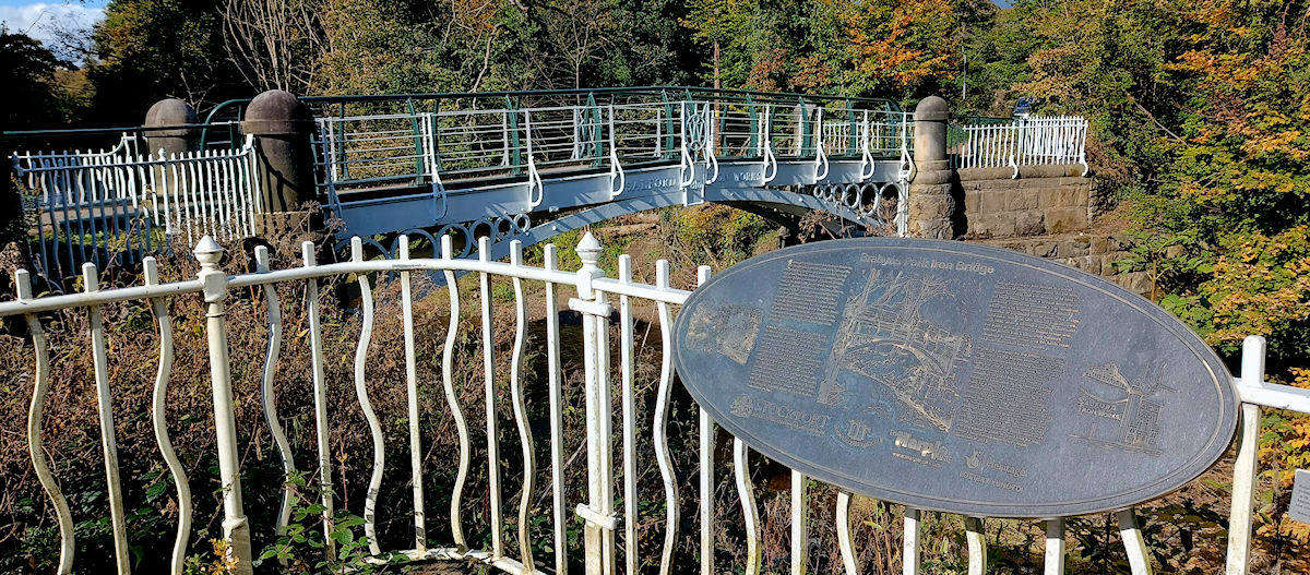
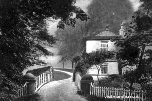
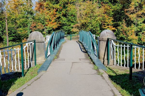
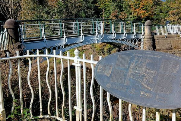 The Iron Bridge in bygone days, and in October 2024 soon after completion of its second refurbishment in 2023/24.
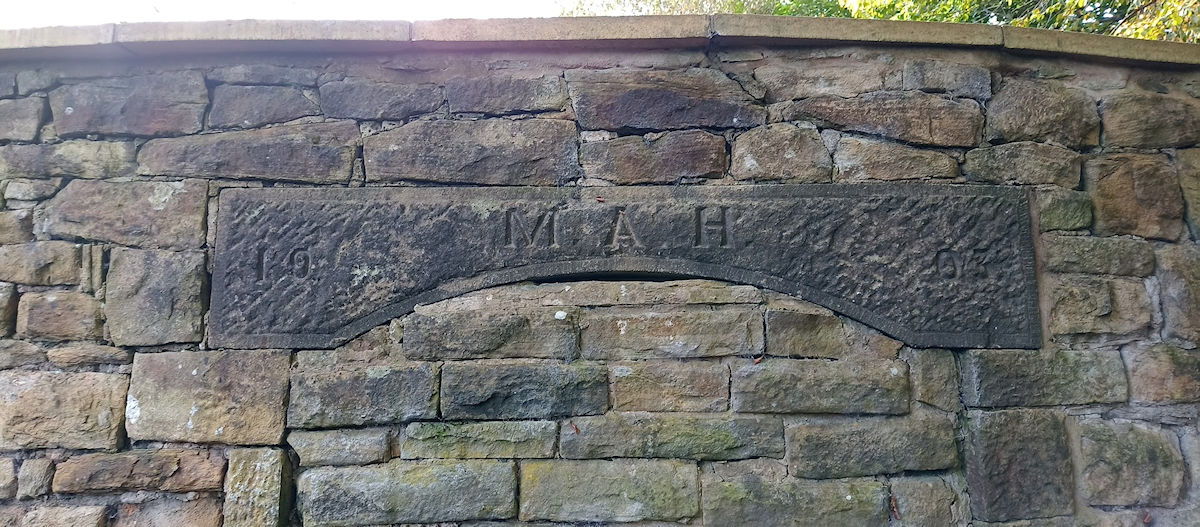
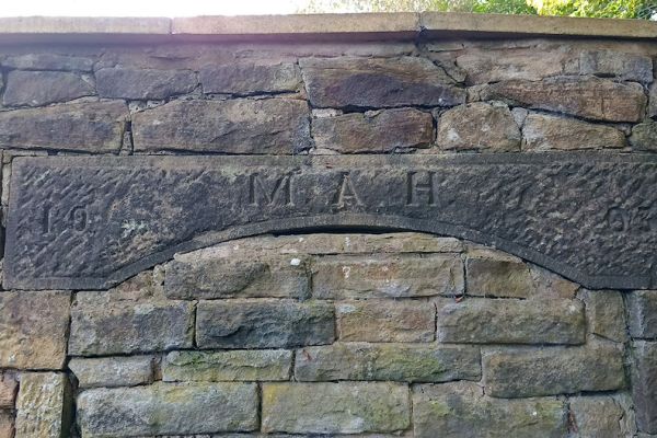
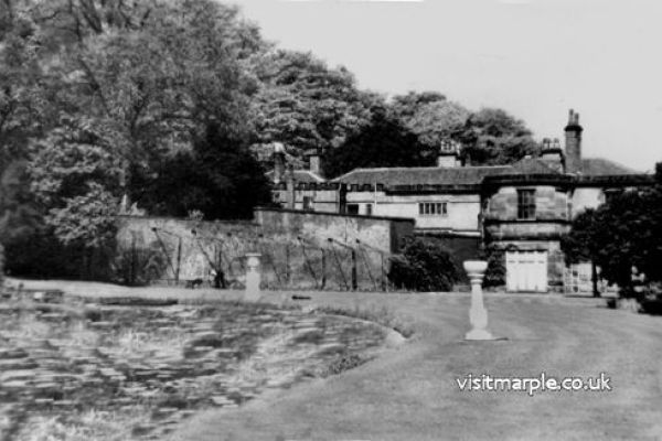
7) The path follows alongside the river and past a picnic spot with tables and benches. A short distance beyond the sharp bend in the river is a weir called Wright's Folly. Follow the path past another weir and a mysterious stone pulled from the river by volunteers in 2000. Here the path joins a track that passes to the left of the former Brabyns Hall walled garden. Carved in the stone over the top of the filled in entrance to the garden are the initials M. A. H. Brabyns Hall was the home of the Hudsons and the last occupant, Miss Fanny Hudson, acted as matron when the hall was turned into an Auxiliary Hospital during the first world war. She was later awarded the O.B.E. for her services.
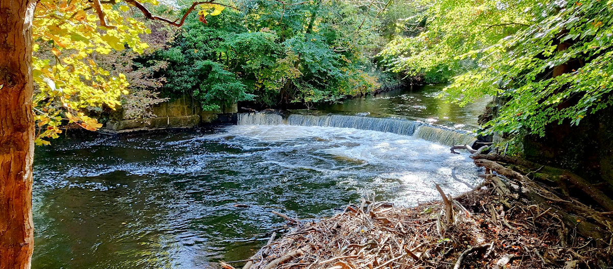

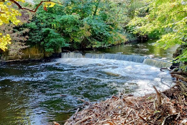
 Wright's Folly, the mysterious foundation stone pulled from the river by volunteers, and the old entrance to the walled garden.
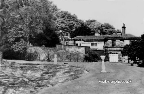
8) Cross over the tarmac road that leads to the former Garden Centre on the right and up a path that leads to the Car Park. This was the site of Brabyns Hall demolished in 1952. The pond you can see behind the house in the old photo is just beyond the small play area.
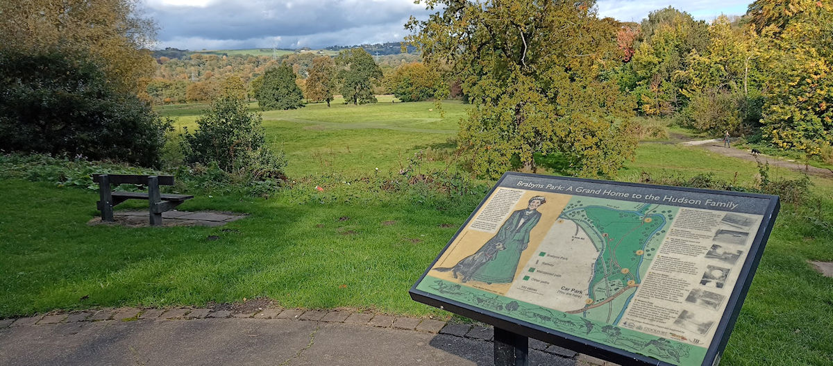
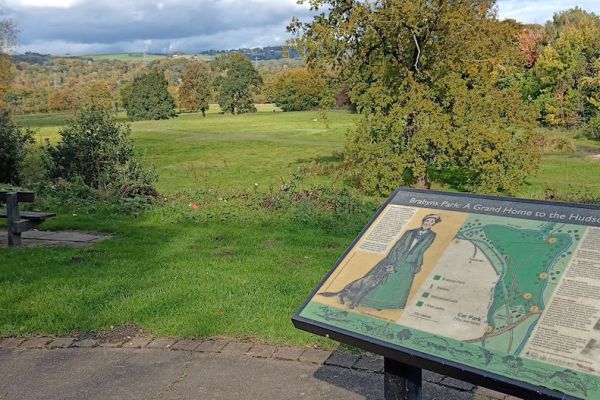 The path leading to the Car Park, which was the site of Brabyns Hall, and a tribute to Fanny Hudson as you look across the park.
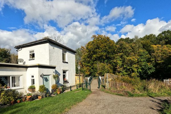
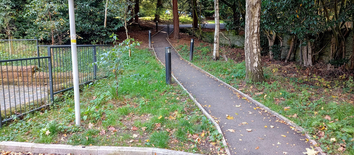
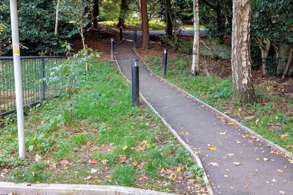
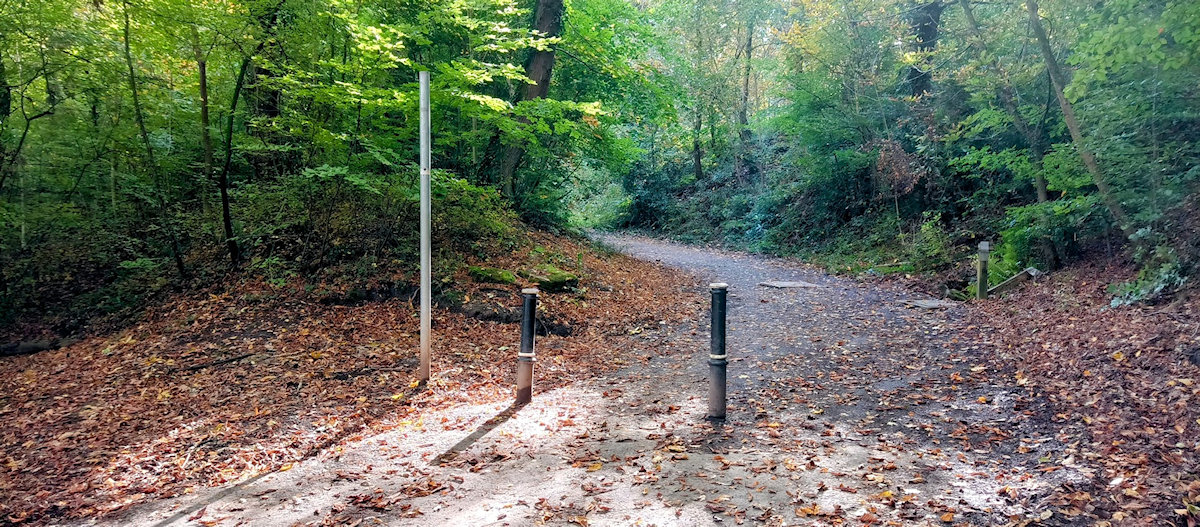
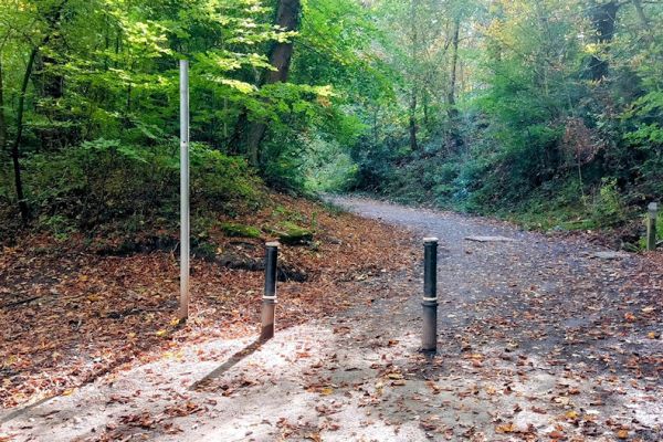
At the car park turn right and follow the road. After about 100 yards bear left at the fork. Take a sharp left at the next junction and follow the track whose end is marked with three metal posts. This will take you to a bridge that passes over the railway.
The track climbs towards the canal and runs parallel before emerging onto Station Road by the side of the lodge.
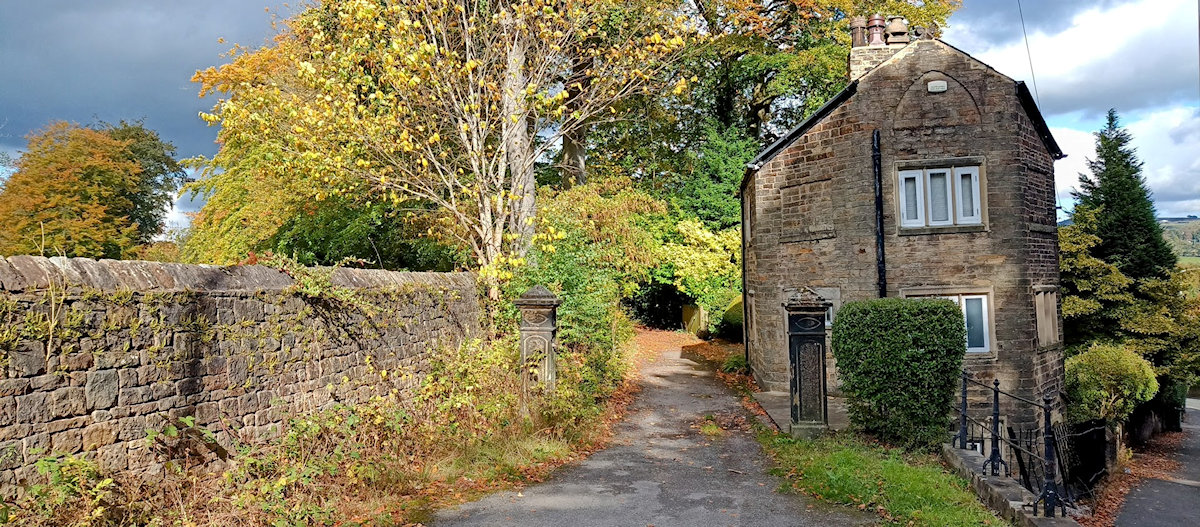
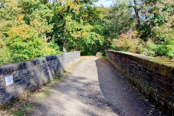
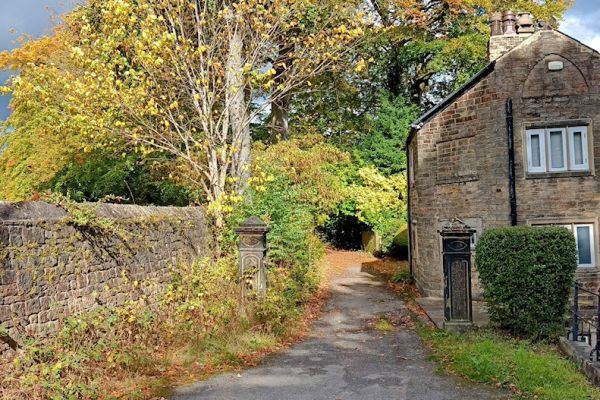 Take a sharp left at this junction, cross the railway bridge, and emerge by the side of Brabyns Lodge.
Cross the road and return to the canal towpath and back to the Memorial Park.

Also in this Series
- Marple Dale
- The Roman Bridge & Lakes
- Chadkirk
- Middlewood Way & Macclesfield Canal
- Donkey Wood
Acknowledgement
This guide was originally designed and produced by Gordon Mills & Co. on behalf of Marple Community Council © 1998. It has been reproduced with permission by The Marple Website and Marple Local History Society in memory of Gordon Mills 1935 - 2006.
If you wish to show your appreciation, please make a small donation to the British Heart Foundation.
Disclaimer
Information on these walks is provided in good faith and is intended as a general guide only. You are advised to verify the accuracy of information before relying on it. It is the responsibility of individuals to approach outdoor activities such as walking with caution. Walking can be strenuous and individuals should ensure that they are fit enough before embarking upon it. If in doubt consult a doctor.